
Vreia de Jales topographic map
Interactive map
Click on the map to display elevation.
About this map
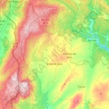
Name: Vreia de Jales topographic map, elevation, terrain.
Average elevation: 2,736 ft
Minimum elevation: 1,854 ft
Maximum elevation: 3,694 ft
Other topographic maps
Click on a map to view its topography, its elevation and its terrain.
Afonsim
Portugal > Vila Real > Vila Pouca de Aguiar
Afonsim, Vila Pouca de Aguiar, Vila Real, 5450-001, Portugal
Average elevation: 3,209 ft