
Tundra topographic map
Interactive map
Click on the map to display elevation.
About this map
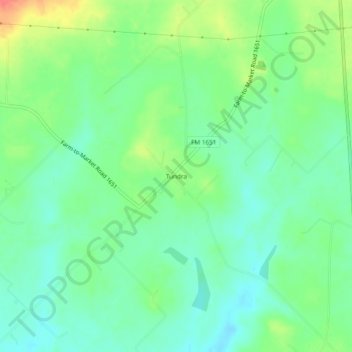
Name: Tundra topographic map, elevation, terrain.
Location: Tundra, Van Zandt County, Texas, USA (32.44403 -95.90052 32.48403 -95.86052)
Average elevation: 551 ft
Minimum elevation: 489 ft
Maximum elevation: 669 ft