
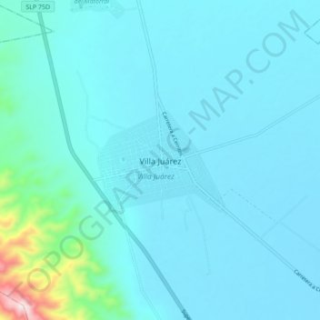
Villa Juárez topographic map
Interactive map
Click on the map to display elevation.
About this map
Name: Villa Juárez topographic map, elevation, terrain.
Location: Villa Juárez, San Luis Potosí, 79460, México (22.28409 -100.30699 22.36409 -100.22699)
Average elevation: 3,776 ft
Minimum elevation: 3,596 ft
Maximum elevation: 5,538 ft