
Siwana topographic map
Interactive map
Click on the map to display elevation.
About this map
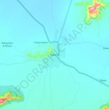
Name: Siwana topographic map, elevation, terrain.
Average elevation: 643 ft
Minimum elevation: 545 ft
Maximum elevation: 1,693 ft
Other topographic maps
Click on a map to view its topography, its elevation and its terrain.
Siner
India > Rajasthan > Siwana Tehsil
Siner, Siwana Tehsil, Balotra District, Rajasthan, India
Average elevation: 564 ft