
顾村镇 topographic map
Interactive map
Click on the map to display elevation.
About this map
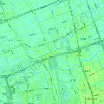
Name: 顾村镇 topographic map, elevation, terrain.
Location: 顾村镇, 宝山区, 上海市, 201906, 中国 (31.32277 121.32808 31.38746 121.43401)
Average elevation: 16 ft
Minimum elevation: 0 ft
Maximum elevation: 30 ft
Other topographic maps
Click on a map to view its topography, its elevation and its terrain.