
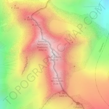
Les Diablons topographic map
Interactive map
Click on the map to display elevation.
About this map
Name: Les Diablons topographic map, elevation, terrain.
Location: Les Diablons, Oberems, Leuk, Vallese, 3948, Svizzera (46.14236 7.67107 46.14246 7.67117)
Average elevation: 9,961 ft
Minimum elevation: 7,615 ft
Maximum elevation: 11,808 ft