
Preikestolen topographic map
Interactive map
Click on the map to display elevation.
About this map
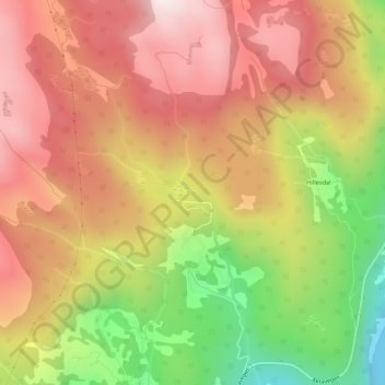
Name: Preikestolen topographic map, elevation, terrain.
Location: Preikestolen, Åkra, Kvinnherad, Hordaland, 5499, Noruega (59.76744 6.04634 59.78744 6.06634)
Average elevation: 1,257 ft
Minimum elevation: 0 ft
Maximum elevation: 2,182 ft