
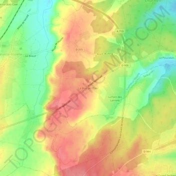
Le Bois de l'Eau topographic map
Interactive map
Click on the map to display elevation.
About this map
Name: Le Bois de l'Eau topographic map, elevation, terrain.
Average elevation: 1,076 ft
Minimum elevation: 932 ft
Maximum elevation: 1,194 ft
Other topographic maps
Click on a map to view its topography, its elevation and its terrain.
Les Varennes
France > Auvergne-Rhône-Alpes > Allier > Espinasse-Vozelle
Les Varennes, Espinasse-Vozelle, Vichy, Allier, Auvergne-Rhône-Alpes, France métropolitaine, 03110, France
Average elevation: 1,079 ft