
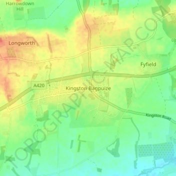
Kingston Bagpuize topographic map
Interactive map
Click on the map to display elevation.
About this map
Name: Kingston Bagpuize topographic map, elevation, terrain.
Average elevation: 249 ft
Minimum elevation: 187 ft
Maximum elevation: 328 ft
Other topographic maps
Click on a map to view its topography, its elevation and its terrain.
Radley
United Kingdom > England > Oxfordshire > Vale of White Horse
Radley, Vale of White Horse, Oxfordshire, England, United Kingdom
Average elevation: 217 ft
Wantage
United Kingdom > England > Oxfordshire > Vale of White Horse > Wantage
Wantage, Vale of White Horse, Oxfordshire, South East England, England, United Kingdom
Average elevation: 495 ft
Abingdon
United Kingdom > England > Oxfordshire > Vale of White Horse
Abingdon, Vale of White Horse, Oxfordshire, England, OX14 3UJ, United Kingdom
Average elevation: 210 ft