
Fram topographic map
Interactive map
Click on the map to display elevation.
About this map
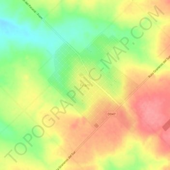
Name: Fram topographic map, elevation, terrain.
Location: Fram, Alto Verá, Itapúa, Región Oriental, Paraguay (-27.11530 -56.03900 -27.07530 -55.99900)
Average elevation: 568 ft
Minimum elevation: 417 ft
Maximum elevation: 696 ft
Other topographic maps
Click on a map to view its topography, its elevation and its terrain.