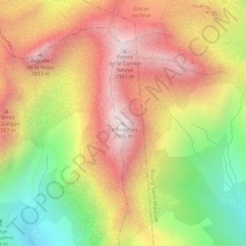
Le Roignais topographic map
Interactive map
Click on the map to display elevation.
About this map
Name: Le Roignais topographic map, elevation, terrain.
Average elevation: 8,015 ft
Minimum elevation: 6,037 ft
Maximum elevation: 9,692 ft

Click on the map to display elevation.
Name: Le Roignais topographic map, elevation, terrain.
Average elevation: 8,015 ft
Minimum elevation: 6,037 ft
Maximum elevation: 9,692 ft