
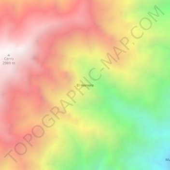
El Herrero topographic map
Interactive map
Click on the map to display elevation.
About this map
Name: El Herrero topographic map, elevation, terrain.
Location: El Herrero, Ituango, Norte, Antioquia, Colombia (7.26544 -75.77473 7.30544 -75.73473)
Average elevation: 7,116 ft
Minimum elevation: 3,704 ft
Maximum elevation: 9,806 ft