
辽阳县 topographic map
Interactive map
Click on the map to display elevation.
About this map
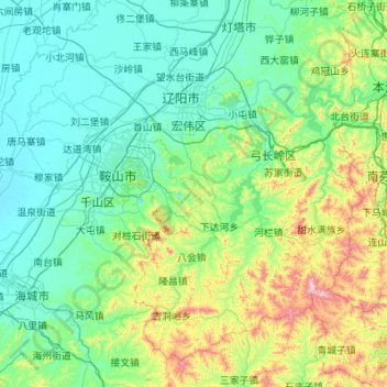
Name: 辽阳县 topographic map, elevation, terrain.
Location: 辽阳县, 辽阳市, 辽宁省, 111200, 中国 (40.71096 122.58842 41.42259 123.68397)
Average elevation: 614 ft
Minimum elevation: 13 ft
Maximum elevation: 3,750 ft
Other topographic maps
Click on a map to view its topography, its elevation and its terrain.