
卡孜乡 topographic map
Interactive map
Click on the map to display elevation.
About this map
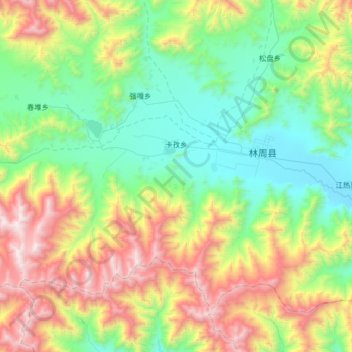
Name: 卡孜乡 topographic map, elevation, terrain.
Location: 卡孜乡, 林周县, 拉萨市, 西藏自治区, 中国 (29.77018 90.84342 29.98005 91.20413)
Average elevation: 14,236 ft
Minimum elevation: 12,264 ft
Maximum elevation: 18,146 ft
Other topographic maps
Click on a map to view its topography, its elevation and its terrain.