
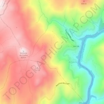
Amieiro topographic map
Interactive map
Click on the map to display elevation.
About this map
Name: Amieiro topographic map, elevation, terrain.
Location: Amieiro, Carlão e Amieiro, Alijó, Vila Real, Portugal (41.26409 -7.43125 41.30112 -7.38697)
Average elevation: 1,617 ft
Minimum elevation: 430 ft
Maximum elevation: 2,621 ft