
Marieville topographic map
Interactive map
Click on the map to display elevation.
About this map
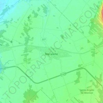
Name: Marieville topographic map, elevation, terrain.
Location: Marieville, Rouville, Montérégie, Quebec, Canada (45.37769 -73.21131 45.49048 -73.09524)
Average elevation: 121 ft
Minimum elevation: 36 ft
Maximum elevation: 443 ft