
涞滩古镇 topographic map
Interactive map
Click on the map to display elevation.
About this map
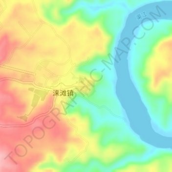
Name: 涞滩古镇 topographic map, elevation, terrain.
Location: 涞滩古镇, 涞滩镇, 合川区, 重庆市主城都市区, 重庆市, 中国 (30.17501 106.48864 30.17853 106.49218)
Average elevation: 856 ft
Minimum elevation: 659 ft
Maximum elevation: 1,093 ft