
Thank you for supporting this site ❤️
Make a donation
Make a donation
Gear up for your next adventure:
As an Amazon Associate, this site earns from qualifying purchases at no extra cost to you.
Yonaguni topographic map
Click on the map to display elevation.
Thank you for supporting this site ❤️
Make a donation
Make a donation
Gear up for your next adventure:
As an Amazon Associate, this site earns from qualifying purchases at no extra cost to you.
About this map
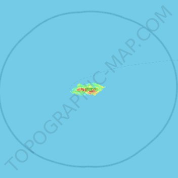
Name: Yonaguni topographic map, elevation, terrain.
Location: Yonaguni, Yaeyama, Okinawa Prefecture, 907-1801, Japan (24.23719 122.71418 24.67477 123.26477)
Average elevation: 0 ft
Minimum elevation: 0 ft
Maximum elevation: 663 ft
Thank you for supporting this site ❤️
Make a donation
Make a donation
Gear up for your next adventure:
As an Amazon Associate, this site earns from qualifying purchases at no extra cost to you.