
茅村镇 topographic map
Interactive map
Click on the map to display elevation.
About this map
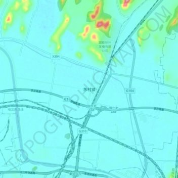
Name: 茅村镇 topographic map, elevation, terrain.
Location: 茅村镇, 徐州市, 江苏省, 中国 (34.32487 117.20544 34.40487 117.28544)
Average elevation: 138 ft
Minimum elevation: 85 ft
Maximum elevation: 630 ft
Other topographic maps
Click on a map to view its topography, its elevation and its terrain.