
Bovingdon topographic map
Interactive map
Click on the map to display elevation.
About this map
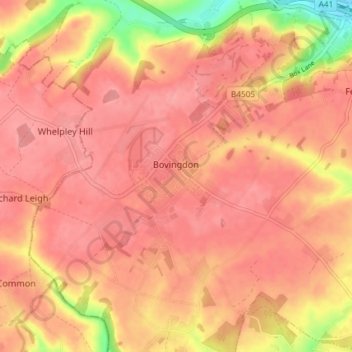
Name: Bovingdon topographic map, elevation, terrain.
Location: Bovingdon, Dacorum, Hertfordshire, England, United Kingdom (51.69930 -0.56561 51.74457 -0.49225)
Average elevation: 482 ft
Minimum elevation: 282 ft
Maximum elevation: 548 ft