
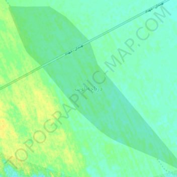
lut lake topographic map
Interactive map
Click on the map to display elevation.
About this map
Name: lut lake topographic map, elevation, terrain.
Average elevation: 860 ft
Minimum elevation: 833 ft
Maximum elevation: 906 ft
Other topographic maps
Click on a map to view its topography, its elevation and its terrain.
زیارتگاه
Iran > Kerman Province > Kerman County > دهستان تکاب
زیارتگاه, دهستان تکاب, بخش شهداد, Kerman County, Kerman Province, Iran
Average elevation: 1,102 ft
Lut Desert
Iran > Kerman Province > Kerman County > دهستان تکاب
Lut Desert, دهستان تکاب, بخش شهداد, Kerman County, Kerman Province, Iran
Average elevation: 2,326 ft