
Poblacion Zone 1 topographic map
Interactive map
Click on the map to display elevation.
About this map
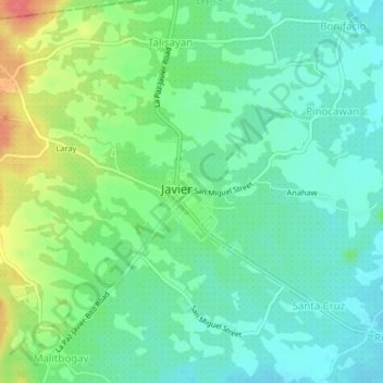
Name: Poblacion Zone 1 topographic map, elevation, terrain.
Average elevation: 102 ft
Minimum elevation: 33 ft
Maximum elevation: 243 ft
Other topographic maps
Click on a map to view its topography, its elevation and its terrain.
Javier
Philippines > Leyte > Javier
Javier, Leyte 5th District, Leyte, Eastern Visayas, 6511, Philippines
Average elevation: 210 ft