
Tippi topographic map
Interactive map
Click on the map to display elevation.
About this map
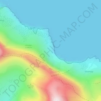
Name: Tippi topographic map, elevation, terrain.
Location: Tippi, Gásadalur, Vágar region, 387, Faroe Islands (62.12070 -7.41219 62.14070 -7.39219)
Average elevation: 561 ft
Minimum elevation: 0 ft
Maximum elevation: 2,316 ft