Bryn-castell topographic map
Interactive map
Click on the map to display elevation.
About this map
Name: Bryn-castell topographic map, elevation, terrain.
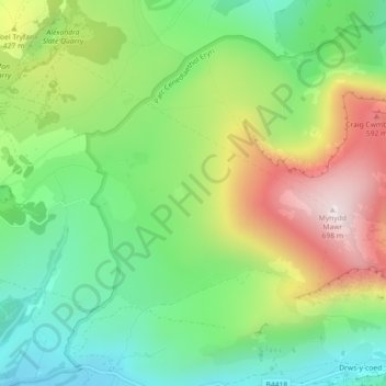
Average elevation: 1,099 ft
Minimum elevation: 344 ft
Maximum elevation: 2,280 ft

Click on the map to display elevation.
Name: Bryn-castell topographic map, elevation, terrain.
Average elevation: 1,099 ft
Minimum elevation: 344 ft
Maximum elevation: 2,280 ft