
Santa Clara (Camino a El Lienzo Charro) topographic map
Interactive map
Click on the map to display elevation.
About this map
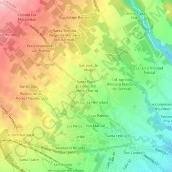
Name: Santa Clara (Camino a El Lienzo Charro) topographic map, elevation, terrain.
Average elevation: 3,192 ft
Minimum elevation: 2,897 ft
Maximum elevation: 3,517 ft