
Melborne topographic map
Interactive map
Click on the map to display elevation.
About this map
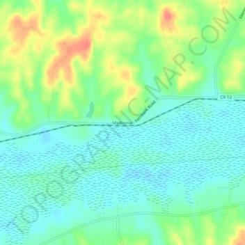
Name: Melborne topographic map, elevation, terrain.
Location: Melborne, Lamar County, Alabama, Estados Unidos da América (33.55289 -88.22281 33.59289 -88.18281)
Average elevation: 272 ft
Minimum elevation: 207 ft
Maximum elevation: 400 ft