
Plan d'Eau d'Embrun topographic map
Interactive map
Click on the map to display elevation.
About this map
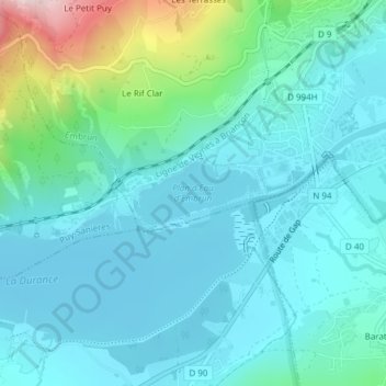
Name: Plan d'Eau d'Embrun topographic map, elevation, terrain.
Average elevation: 2,759 ft
Minimum elevation: 2,526 ft
Maximum elevation: 3,825 ft