
Thadlaskein topographic map
Interactive map
Click on the map to display elevation.
About this map
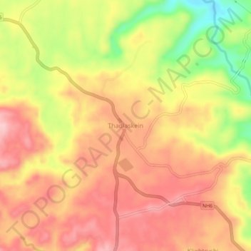
Name: Thadlaskein topographic map, elevation, terrain.
Location: Thadlaskein, West Jaintia Hills, Meghalaya, India (25.48330 92.15310 25.52330 92.19310)
Average elevation: 4,426 ft
Minimum elevation: 4,068 ft
Maximum elevation: 4,639 ft
Other topographic maps
Click on a map to view its topography, its elevation and its terrain.
Nartiang
India > Meghalaya > Thadlaskein
Nartiang, Thadlaskein, West Jaintia Hills, Meghalaya, 793151, India
Average elevation: 4,009 ft