
Garnett topographic map
Interactive map
Click on the map to display elevation.
About this map
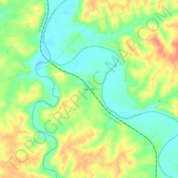
Name: Garnett topographic map, elevation, terrain.
Location: Garnett, Harrison County, Kentucky, États-Unis d'Amérique (38.43924 -84.34744 38.47924 -84.30744)
Average elevation: 748 ft
Minimum elevation: 656 ft
Maximum elevation: 860 ft