
Völkerhausen topographic map
Interactive map
Click on the map to display elevation.
About this map
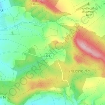
Name: Völkerhausen topographic map, elevation, terrain.
Average elevation: 545 ft
Minimum elevation: 272 ft
Maximum elevation: 965 ft
Other topographic maps
Click on a map to view its topography, its elevation and its terrain.
Hämelschenburg
Deutschland > Niedersachsen > Landkreis Hameln-Pyrmont > Emmerthal
Hämelschenburg, Emmerthal, Landkreis Hameln-Pyrmont, Niedersachsen, Deutschland
Average elevation: 528 ft