
Río Verde topographic map
Interactive map
Click on the map to display elevation.
About this map
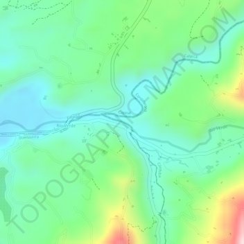
Name: Río Verde topographic map, elevation, terrain.
Location: Río Verde, Buenavista, Capital, Quindío, 632020, Colombia (4.40400 -75.72850 4.40570 -75.72505)
Average elevation: 3,921 ft
Minimum elevation: 3,629 ft
Maximum elevation: 4,577 ft