Geolocate

Hamilton Township topographic map

Click on the map to display elevation.

About this map

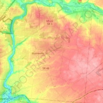
Name: Hamilton Township topographic map, elevation, terrain.

Location: Hamilton Township, Warren County, Ohio, United States (39.26452 -84.26526 39.36761 -84.14829)

Average elevation: 781 ft

Minimum elevation: 568 ft

Maximum elevation: 922 ft

Warren County trails, hiking, mountain biking, running and outdoor activities

Other topographic maps

Click on a map to view its topography, its elevation and its terrain.

Red Lion

United States > Ohio > Warren County

Average elevation: 915 ft

Roachester

United States > Ohio > Warren County

Average elevation: 791 ft

Blue Ball

United States > Ohio > Warren County > Middletown

Average elevation: 735 ft

Hicks

United States > Ohio > Warren County

Average elevation: 856 ft

Oregonia

United States > Ohio > Warren County

Average elevation: 889 ft

Gear up for your next adventure:

🦺Reflective Outdoor Gear - Safety gear for low‑light conditions
🧭Pro Hiking Compasses - High-accuracy liquid-filled compasses for topographic orientation
🥾Women's Hiking Boots - Top-rated trail boots with ankle support and superior grip
🦟Ultrasonic Repellers - Create a bug-free zone at your camp or rest stop
🥇GPS Hiking Watch - Multi‑sport GPS watch with navigation and trail tracking

As an Amazon Associate, this site earns from qualifying purchases at no extra cost to you.