
Tribomont topographic map
Interactive map
Click on the map to display elevation.
About this map
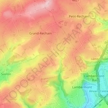
Name: Tribomont topographic map, elevation, terrain.
Location: Tribomont, Pepinster, Verviers, Liège, Wallonie, 4820, Belgique (50.57956 5.79867 50.61956 5.83867)
Average elevation: 810 ft
Minimum elevation: 479 ft
Maximum elevation: 1,037 ft