
馬田村 topographic map
Interactive map
Click on the map to display elevation.
About this map
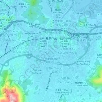
Name: 馬田村 topographic map, elevation, terrain.
Location: 馬田村, 元朗, 元朗區, 新界, 香港, 中国 (22.41949 114.00371 22.45949 114.04371)
Average elevation: 69 ft
Minimum elevation: -13 ft
Maximum elevation: 899 ft