
Ghiya Khedi topographic map
Interactive map
Click on the map to display elevation.
About this map
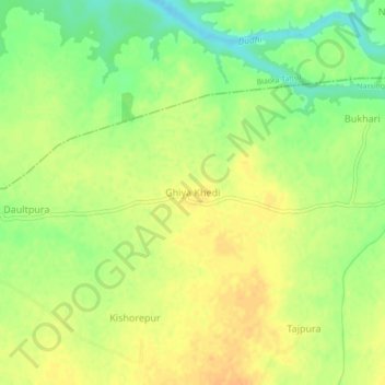
Name: Ghiya Khedi topographic map, elevation, terrain.
Average elevation: 1,398 ft
Minimum elevation: 1,332 ft
Maximum elevation: 1,440 ft
Other topographic maps
Click on a map to view its topography, its elevation and its terrain.
Sonkatch
India > Madhya Pradesh > Narsinghgarh Tahsil
Sonkatch, Narsinghgarh Tahsil, Rajgarh, Madhya Pradesh, 458883, India
Average elevation: 1,470 ft