
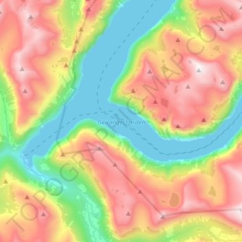
Geirangerfjorden topographic map
Interactive map
Click on the map to display elevation.
About this map
Name: Geirangerfjorden topographic map, elevation, terrain.
Location: Geirangerfjorden, Geiranger, Stranda, Møre og Romsdal, Norvège (62.08424 6.94197 62.12530 7.20620)
Average elevation: 2,198 ft
Minimum elevation: 0 ft
Maximum elevation: 5,276 ft
Other topographic maps
Click on a map to view its topography, its elevation and its terrain.
Homlong
Norvège > Møre og Romsdal > Geiranger > Homlong
Homlong, Geiranger, Stranda, Møre og Romsdal, 6216, Norvège
Average elevation: 1,683 ft