
Sangdupota (Basar Nello) topographic map
Interactive map
Click on the map to display elevation.
About this map
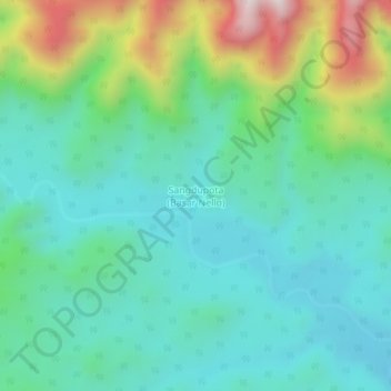
Name: Sangdupota (Basar Nello) topographic map, elevation, terrain.
Average elevation: 1,220 ft
Minimum elevation: 564 ft
Maximum elevation: 3,114 ft