
Aloasí topographic map
Interactive map
Click on the map to display elevation.
About this map
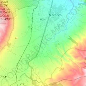
Name: Aloasí topographic map, elevation, terrain.
Location: Aloasí, Machachi, Pichincha, Ecuador (-0.61592 -78.66205 -0.49057 -78.57111)
Average elevation: 10,909 ft
Minimum elevation: 9,262 ft
Maximum elevation: 14,124 ft
Other topographic maps
Click on a map to view its topography, its elevation and its terrain.