
Sturgeon Creek Park topographic map
Interactive map
Click on the map to display elevation.
About this map
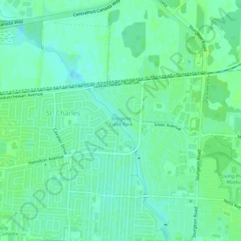
Name: Sturgeon Creek Park topographic map, elevation, terrain.
Average elevation: 784 ft
Minimum elevation: 768 ft
Maximum elevation: 797 ft
Other topographic maps
Click on a map to view its topography, its elevation and its terrain.
Parc Historique Lagimodière-Gaboury
Canada > Manitoba > Division No 11 > Winnipeg
Parc Historique Lagimodière-Gaboury, Point Douglas, Elmwood, Winnipeg, Division No 11, Manitoba, Canada
Average elevation: 761 ft