Geolocate

Magee topographic map

Click on the map to display elevation.

About this map

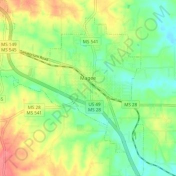
Name: Magee topographic map, elevation, terrain.

Location: Magee, Simpson County, Mississippi, 39111, United States (31.84200 -89.76945 31.89890 -89.71247)

Average elevation: 436 ft

Minimum elevation: 348 ft

Maximum elevation: 554 ft

Simpson County trails, hiking, mountain biking, running and outdoor activities

Gear up for your next adventure:

🛶Inflatable Kayak - Portable kayak for rivers, lakes, and expeditions
🥩Freeze-Dried Meals - Nutritious and lightweight food for remote expeditions
🧭Pro Hiking Compasses - High-accuracy liquid-filled compasses for topographic orientation
🪑Ultralight Camp Chairs - Portable seating for resting after a long day of mapping
🧣Hiking Neck Gaiter - Multi‑use neck protection for outdoor weather

As an Amazon Associate, this site earns from qualifying purchases at no extra cost to you.