
Ouguela topographic map
Interactive map
Click on the map to display elevation.
About this map
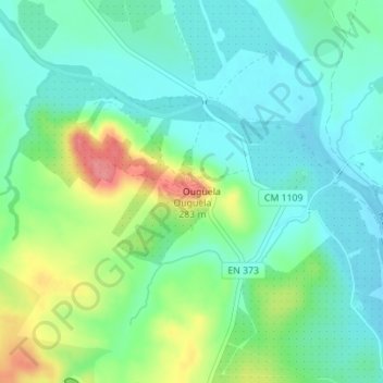
Name: Ouguela topographic map, elevation, terrain.
Location: Ouguela, Campo Maior, Portalegre, 7370-200, Portugal (39.07891 -7.03161 39.07901 -7.03151)
Average elevation: 725 ft
Minimum elevation: 643 ft
Maximum elevation: 909 ft