
Unterer Krimmler Wasserfall topographic map
Interactive map
Click on the map to display elevation.
About this map
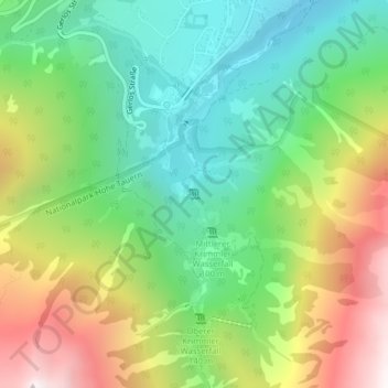
Name: Unterer Krimmler Wasserfall topographic map, elevation, terrain.
Average elevation: 4,977 ft
Minimum elevation: 3,232 ft
Maximum elevation: 7,848 ft
Other topographic maps
Click on a map to view its topography, its elevation and its terrain.
Unterkrimml
Österreich > Salzburg > Krimml > Unterkrimml
Unterkrimml, Krimml, Zell am See, Salzburg, 5743, Österreich
Average elevation: 4,173 ft