
Schalbroek topographic map
Interactive map
Click on the map to display elevation.
About this map
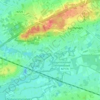
Name: Schalbroek topographic map, elevation, terrain.
Location: Schalbroek, Lummen, Limburg, Vlaanderen, 3560, België (50.95744 5.15575 50.99744 5.19575)
Average elevation: 95 ft
Minimum elevation: 46 ft
Maximum elevation: 213 ft