
Posto de Vigia da Serra de Ossa topographic map
Interactive map
Click on the map to display elevation.
About this map
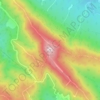
Name: Posto de Vigia da Serra de Ossa topographic map, elevation, terrain.
Average elevation: 1,522 ft
Minimum elevation: 981 ft
Maximum elevation: 2,146 ft