
SS14 topographic map
Interactive map
Click on the map to display elevation.
About this map
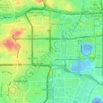
Name: SS14 topographic map, elevation, terrain.
Location: SS14, Subang Jaya City Council, 47500, Malaysia (3.04831 101.57366 3.08831 101.61366)
Average elevation: 92 ft
Minimum elevation: -144 ft
Maximum elevation: 230 ft