
Waldbüttelbrunn topographic map
Interactive map
Click on the map to display elevation.
About this map
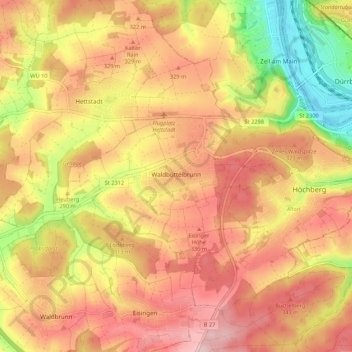
Name: Waldbüttelbrunn topographic map, elevation, terrain.
Location: Waldbüttelbrunn, Landkreis Würzburg, Bayern, 97297, Deutschland (49.76602 9.74916 49.80666 9.85695)
Average elevation: 974 ft
Minimum elevation: 545 ft
Maximum elevation: 1,263 ft