
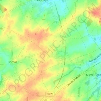
Hédenge topographic map
Interactive map
Click on the map to display elevation.
About this map
Name: Hédenge topographic map, elevation, terrain.
Location: Hédenge, Ramillies, Brabant wallon, Wallonie, 1367, Belgique (50.65276 4.87758 50.69276 4.91758)
Average elevation: 413 ft
Minimum elevation: 338 ft
Maximum elevation: 489 ft