
Hilvarenbeek topographic map
Interactive map
Click on the map to display elevation.
About this map
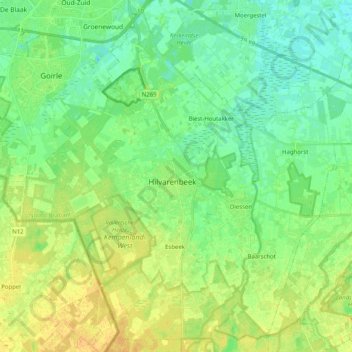
Name: Hilvarenbeek topographic map, elevation, terrain.
Location: Hilvarenbeek, North Brabant, Netherlands, The Netherlands (51.42827 5.04879 51.54592 5.25125)
Average elevation: 59 ft
Minimum elevation: 26 ft
Maximum elevation: 102 ft
Dutch Topographic map of the municipality of Hilvarenbeek, June 2015.