
Pangong Lake topographic map
Interactive map
Click on the map to display elevation.
About this map
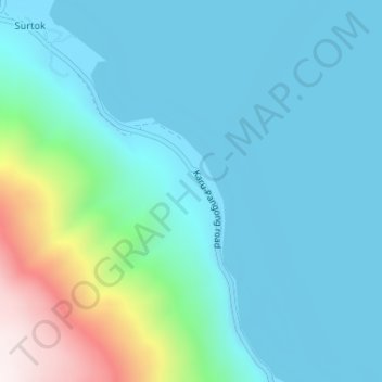
Name: Pangong Lake topographic map, elevation, terrain.
Location: Pangong Lake, Lukung, Leh, Leh District, Ladakh, India (33.94451 78.42184 33.96451 78.44184)
Average elevation: 14,413 ft
Minimum elevation: 13,911 ft
Maximum elevation: 16,693 ft