
Zoersel topographic map
Interactive map
Click on the map to display elevation.
About this map
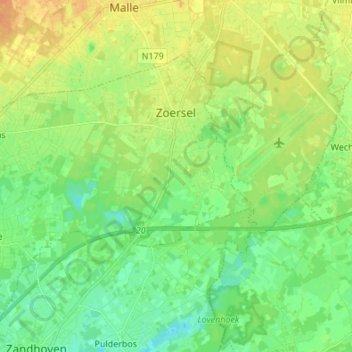
Name: Zoersel topographic map, elevation, terrain.
Location: Zoersel, Anvers, Flandre, 2980, Belgique (51.21892 4.60786 51.29386 4.74334)
Average elevation: 49 ft
Minimum elevation: 10 ft
Maximum elevation: 95 ft